Maps and Tours
PRESERVING THE PAST FOR THE FUTURE
Historical Tours
Welcome to our “Maps & Tours” section where we will reveal some of the rich history found here in Kaysville and Fruit Heights. And maybe a few fun facts along the way too. For instance, did you know some homes built in the early 1900s have walls three bricks thick on their east side to protect against east winds? That Kaysville once had its own bowling alley? Or that the only president of the Church of Jesus Christ of Latter-day Saints born outside the United States died here in Kaysville?
Whether you are a newcomer or a lifelong resident, it’s likely there’s a historical nugget or two you may be interested to learn. In time we hope to make available numerous virtual tours containing fun facts, and a walk down memory lane for those lifers. We hope you enjoy your visit here on one or all of our virtual tours.
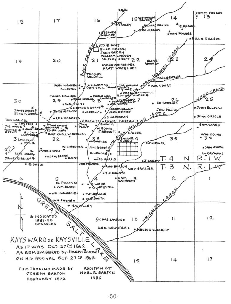
Kays Ward or Kaysville Map – 1862
A map of settlers as remembered by Joseph Barton on his arrival October 27th, 1862.
1862 Settler Map
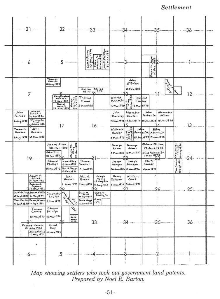
Government Land Patents Map
Map showing settlers who took out government land patents in Kaysville by
Noel R. Barton
Settlers Land Patents Map
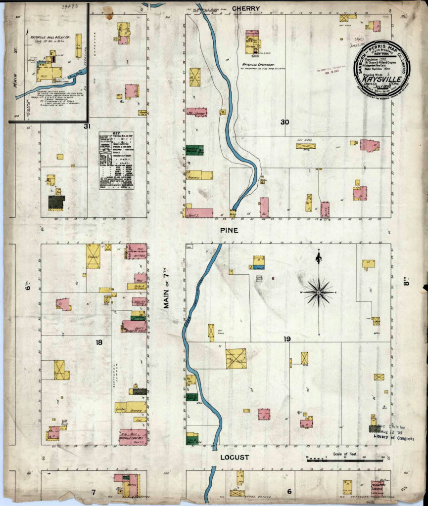
Old Town Main Street Tour, 50 South to 50 North is available for viewing now. Walk the old town route and read along on your phone, or simply enjoy it while sitting in front of your computer.
Old Town Main Street tour part 1 of 3
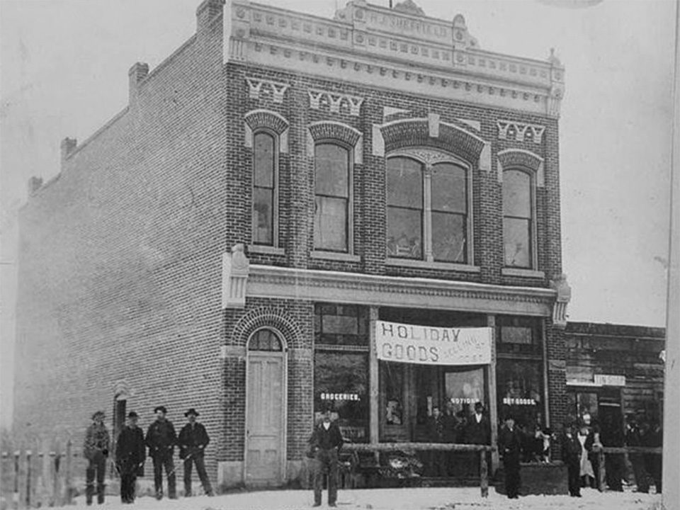
Old Town Main Street Tour, 50 North to 200 North is available for viewing now. Walk the old town route and read along on your phone, or simply enjoy it while sitting in front of your computer.
Old Town Main Street tour part 2 of 3
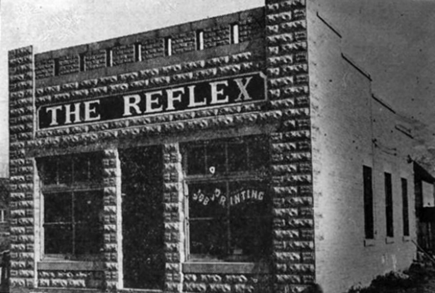
Old Town Main Street Tour, 50 North to 200 North is available for viewing now. Walk the old town route and read along on your phone, or simply enjoy it while sitting in front of your computer.
Old Town Main Street tour part 3 of 3
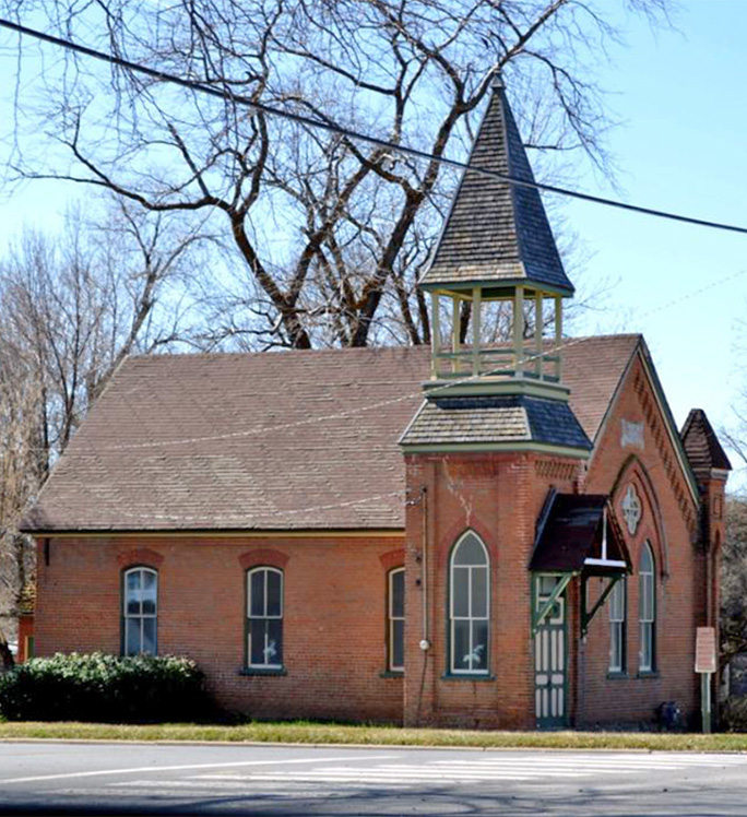
Old Town Center Street Tour, part 1 of 2 is available for viewing now. Walk the old town route east of Main Street. Read along on your phone, or simply enjoy it while sitting in front of your computer.
Old Town Center Street tour part 1 of 2
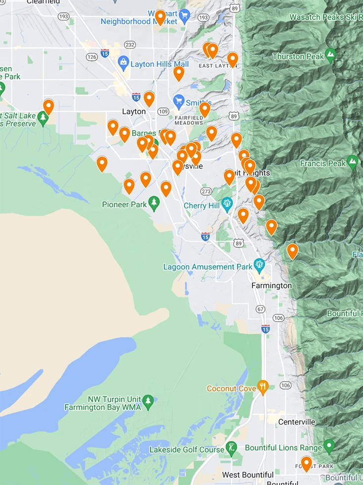
With approval of leaders of the Northwestern Shoshone Band, a map of locations of interactions between Kaysville pioneers and indigenous people has been compiled. As ongoing research takes place, new locations will be added.
see Google Maps “Native American Locations in Kaysville History”
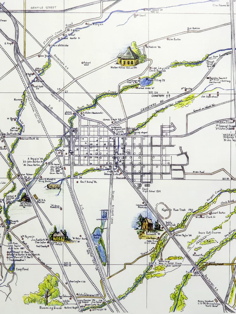
Thanks to contributions of former Kaysville City Recorder and Kaysville – Fruit Heights Museum Advisor Linda Ross and Collin Gee, a virtual tour of historic Kaysville locations is available to be seen at the “Kaysville Historic Tour” website
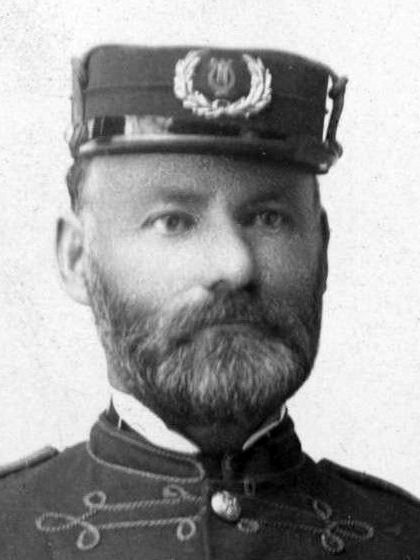
As part of a county-wide collaborative event hosted by Davis County Museums, an interactive map of William Allen buildings in Davis County is available courtesy of the Heritage Museum of Layton. See “William Robert Allen – Local Architect”
